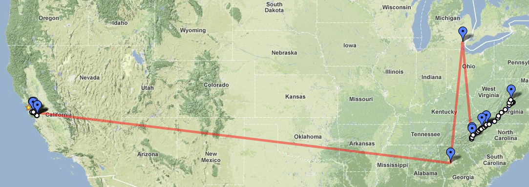
Sorry for the late update, I spent last night at Station's Inn and had no cell reception or internet. How refreshing. Anyway, tonight's a two-day update and covers a whirlwind of travel.
But here's the part we care about from yesterday.
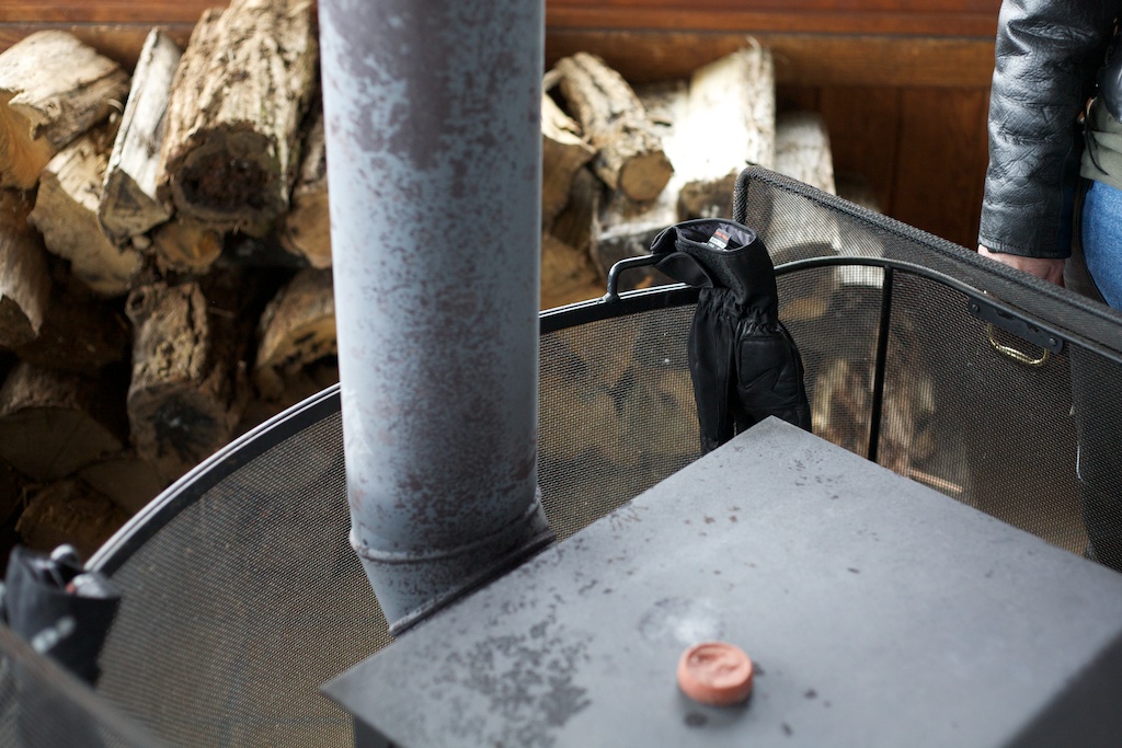
It was cold. Really cold. I pulled off at one of the visitor's centers on BRP to warm my bones by the wood-burning stove that heated the place while flurries of snow teased us outside.
Oh come on, that numist is a wimp. How cold could it be?
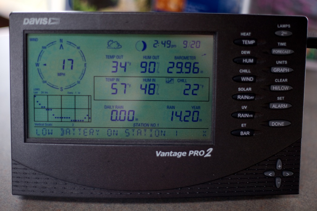
It was cold. See the windchill? That's 22°F standing still. And me without real winter gear.
It was pretty, though.
Really pretty.
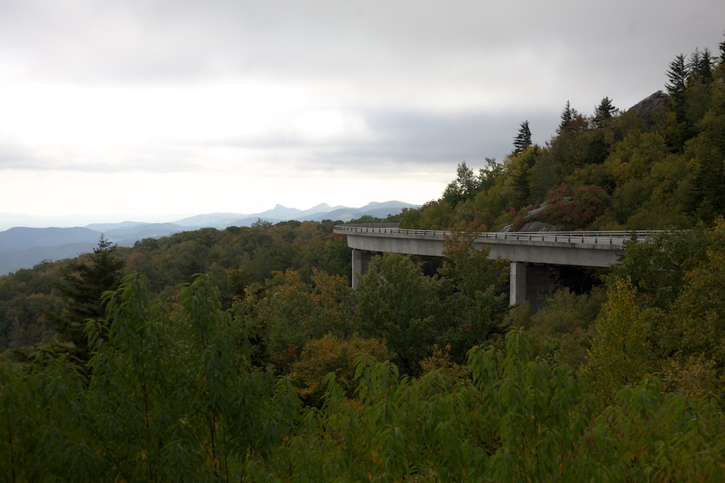
The whole day pretty much went like this.
I pulled into Boone at 6pm or so, hoping to call it an early day and get a hot shower, but the restaurant I pulled into was packed and Milami reported that every hotel was full or only had suites available at $180 and up a night. Something about a Wizard of Oz festival. As I was considering pitching my tent and chattering myself to sleep on the side of the road, she found Station's Inn, which was about 60 miles North just off the parkway and had plenty of space. Perfect.
Her finding hotels and motorcycle shops and book flights while I'm on the road has been super helpful, this trip would not be nearly as relaxed and successful without her. Especially since my phone was out of battery after the night and day's travels. Thanks Milami!
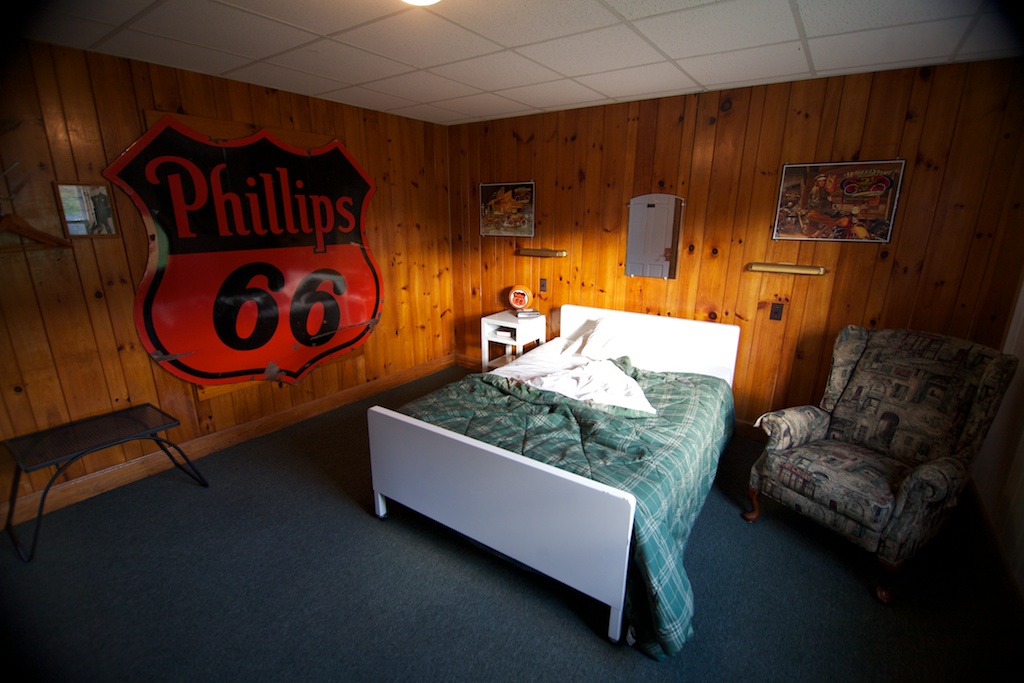
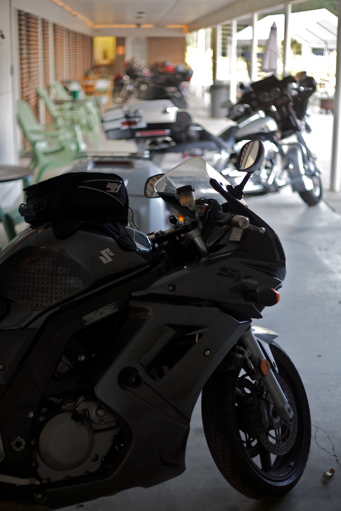
The room was full of road warrior/biker type stuff.
And the parking was convenient, too!
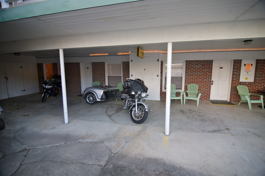
The whole row was like this, back behind a restaurant nice and cozy.
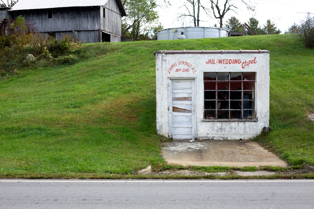
At breakfast I spotted this place across the street. Not sure if they're serious—there's a lot of bad marriage jokes to be made here.
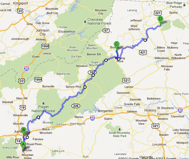
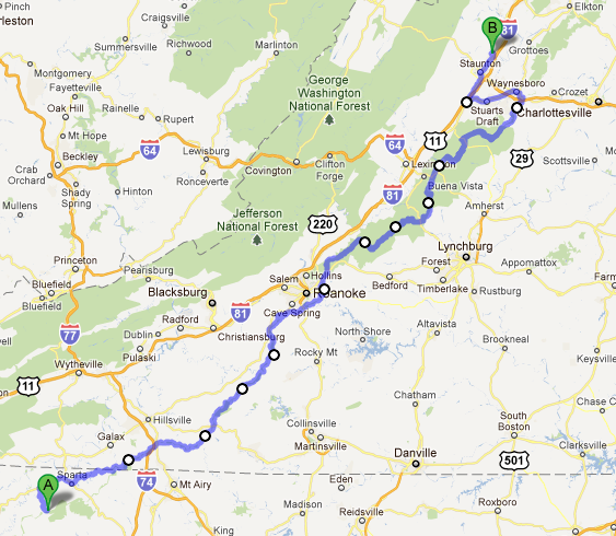
Breakfast done, here's today's route.
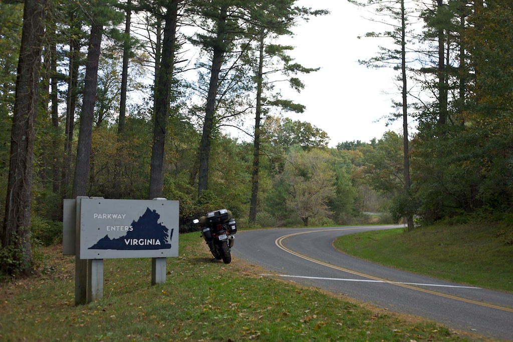
After a BRP closure due to construction, Virginia came quickly after that.
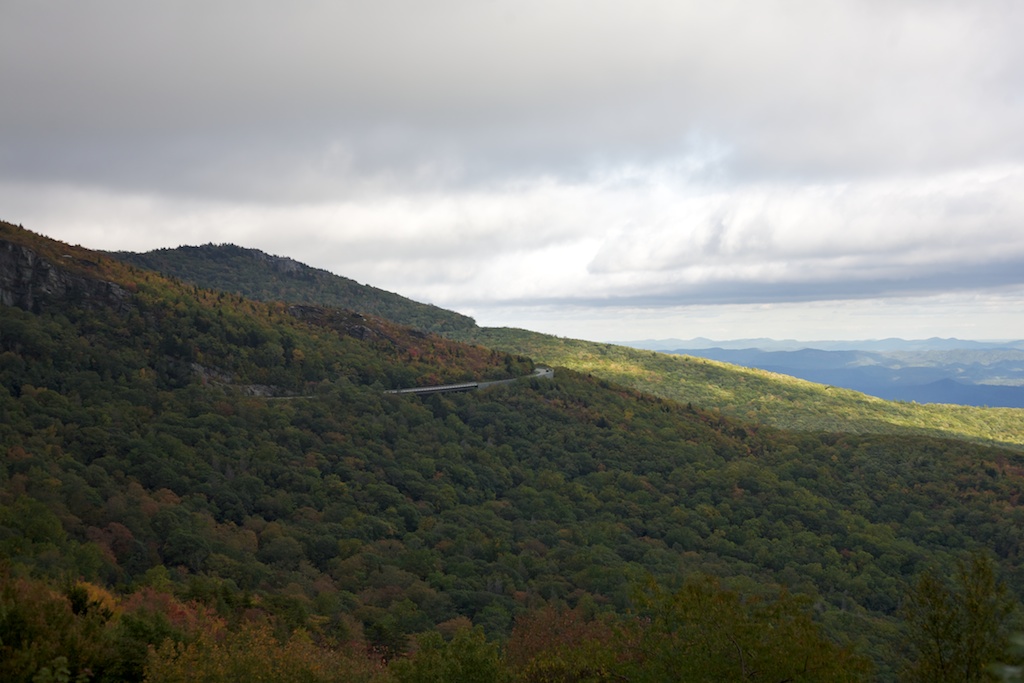
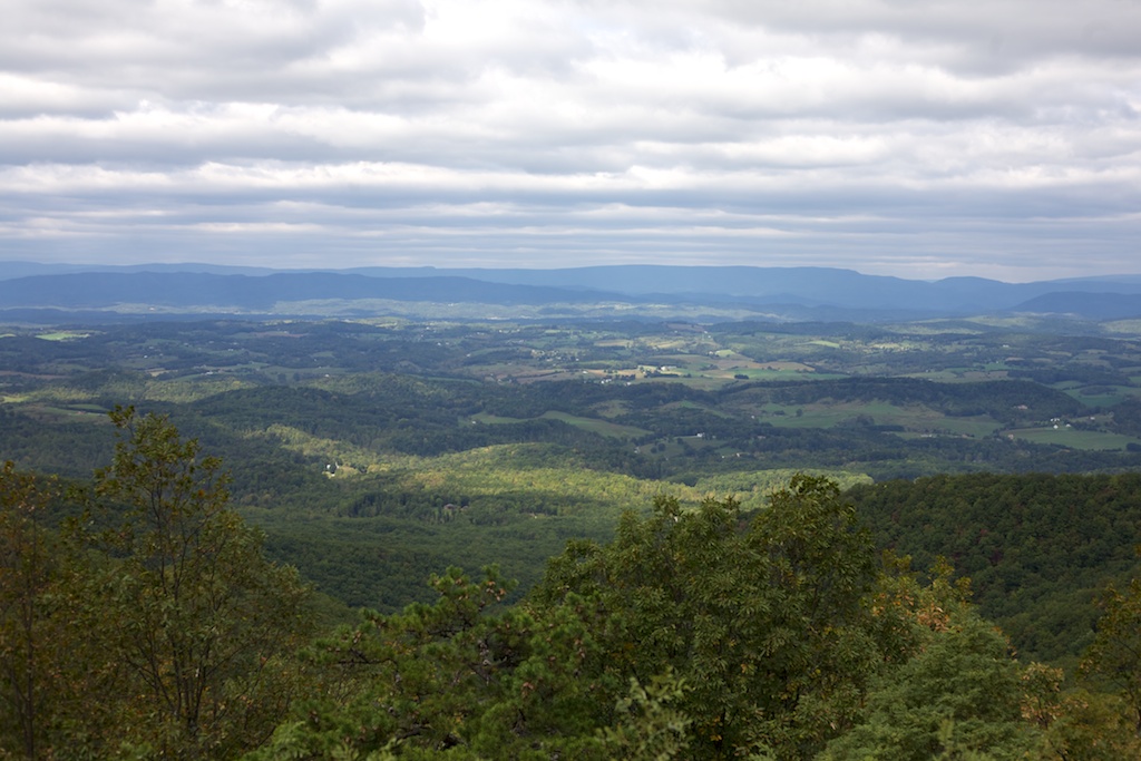
And the views continued. This is the last wide vista, I promise.
At one of the overlooks, there was a lot of cars, so I pulled off to see what they were looking at.
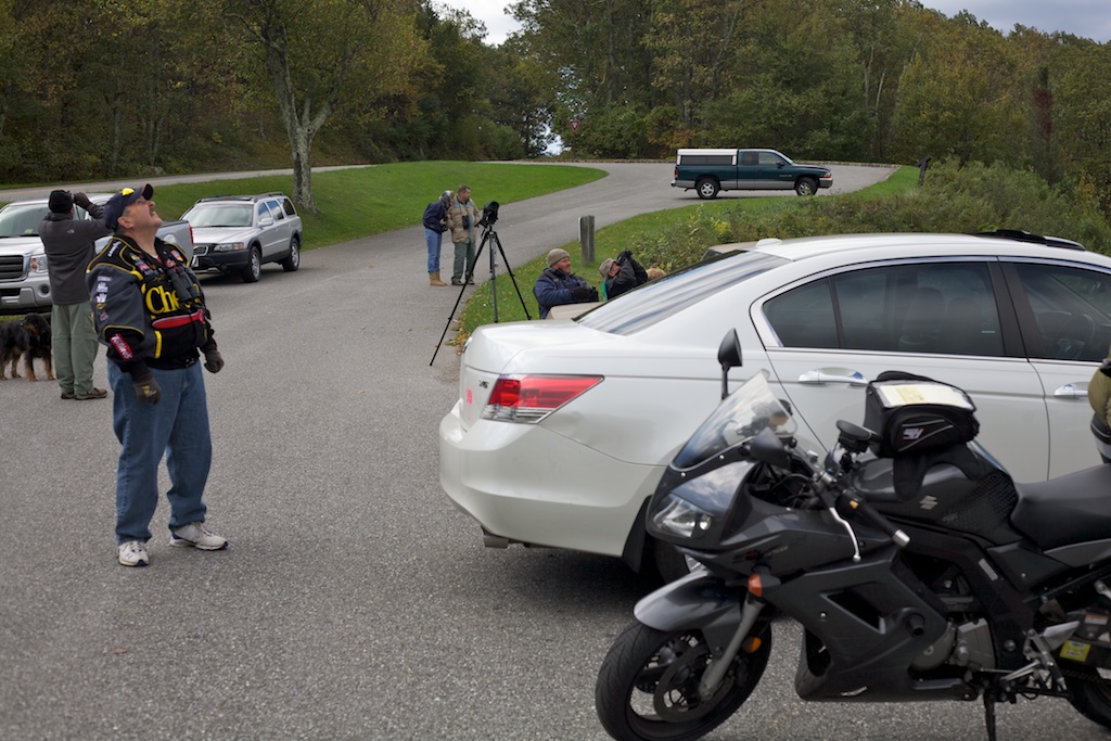
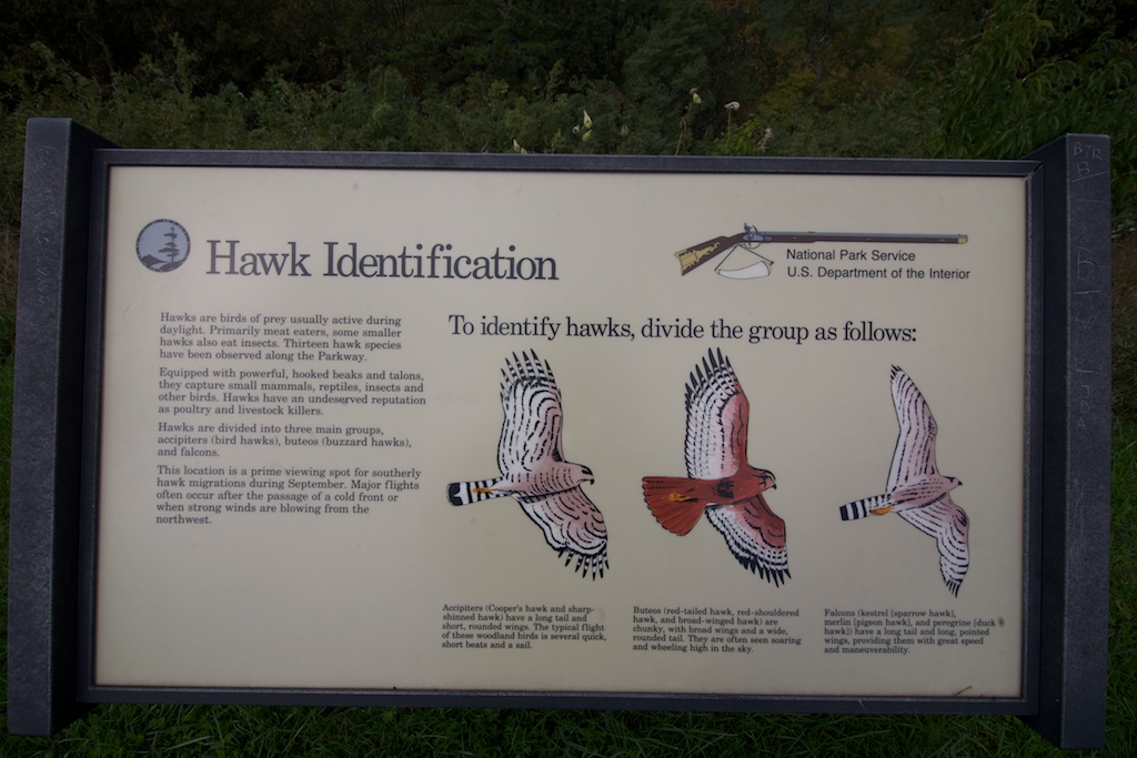
Turns out they were birders—more accurately they're hawkers, if that's a word. A sign in the parking lot explained.
At the James River visitor's center I got off and had a short hike. There's a pedestrian bridge built under the BRP traffic bridge!
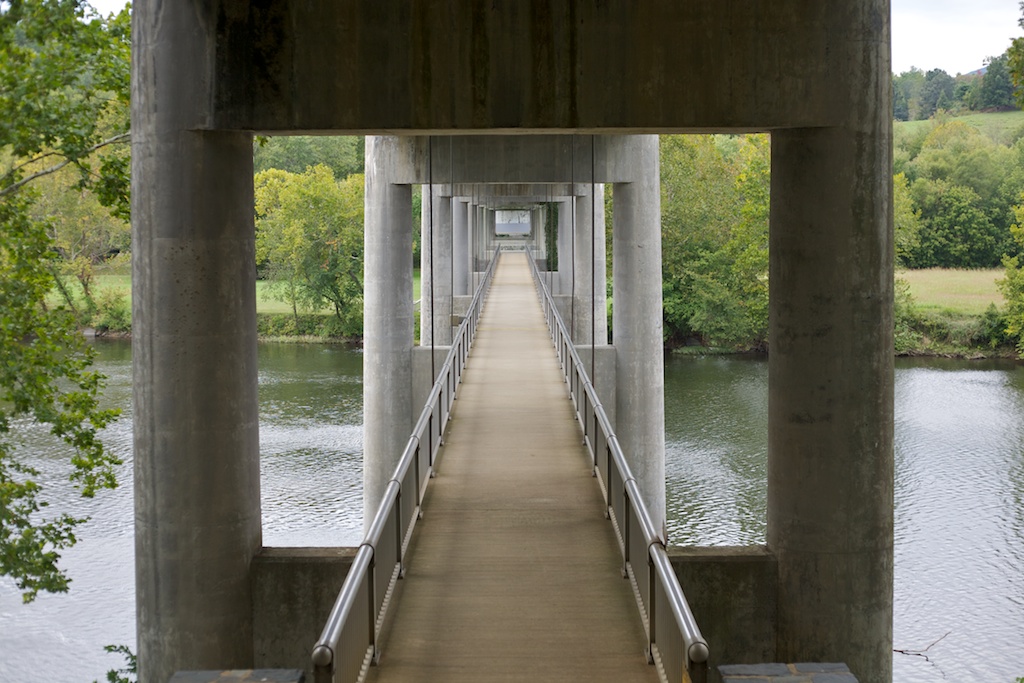
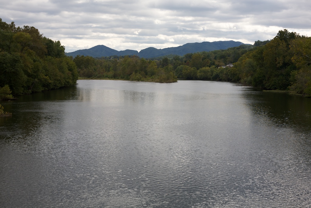
From which a good view of the river can be had.
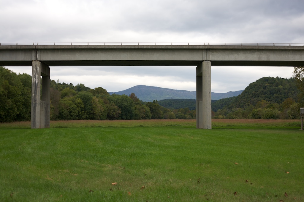
At the other side is a reproduced lock of the old canals that used to be in the area, but the real show was the view from the ground.
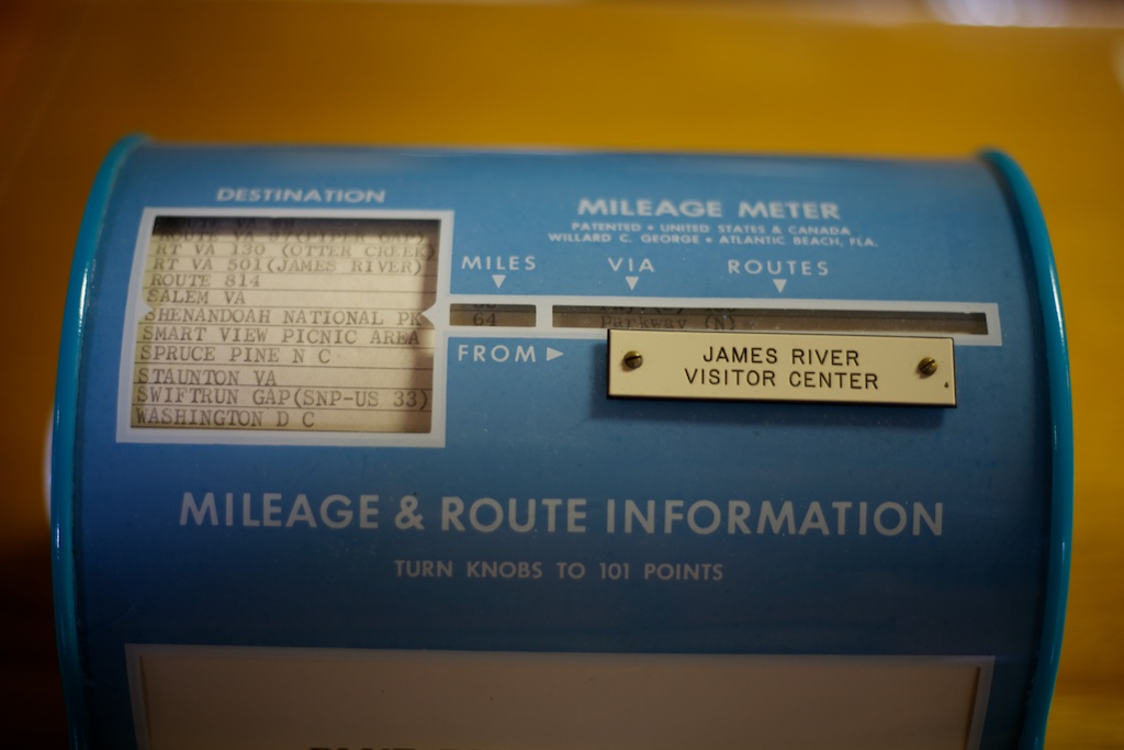
Inside the visitor's center there was a Mileage & Route Information box that predated the interstate system, so if you're looking for directions to the interstate you should look elsewhere—perfect for me!
I thought this sign was odd. It may as well read "STUNTERS ONLY!"
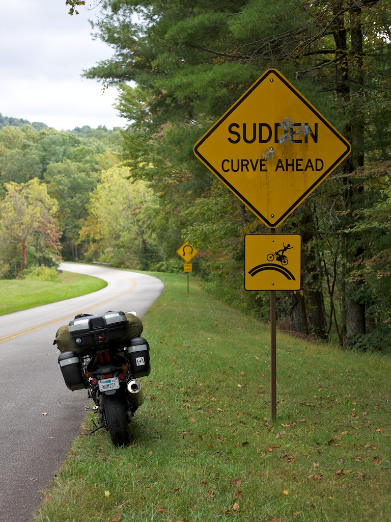
In the background is another sign that reads spiral curve. While "spiral curve" obviously means "decreasing radius corner", the picture sure doesn't make sense. They should be using a sign more like the fishhook in Santa Cruz.
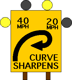
Now that's how you advertise a DR corner!
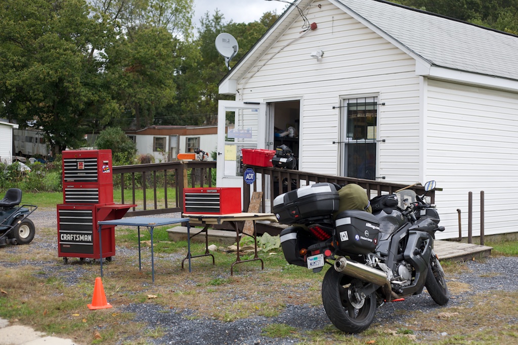
Towards the end of BRP the GPS I bought from GSJon crashed twice and hung once, and to recover from a hang you have to pull the battery out, which requires a 2mm allen. Luckily I came across a tool shed and got it sorted. I have my directions written out on a notepad in my tank bag, but the GPS is darn convenient.
I'm at Shenandoah Valley Campgrounds tonight, tomorrow the journey home begins. I'm going to miss it out here in biking nirvana.